


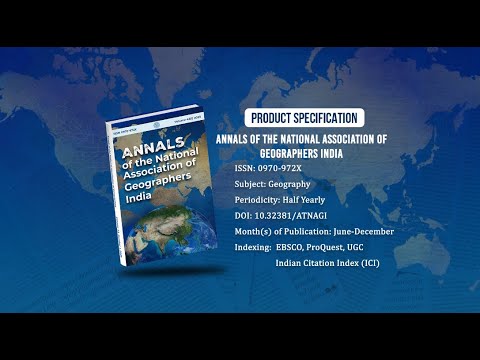
Annals of the National Association of Geographers India - A UGC-CARE Listed Journal
Published in Association with National Association of Geographers, India (NAGI)
Current Volume: 45 (2025 )
ISSN: 0970-972X
Periodicity: Half-Yearly
Month(s) of Publication: June & December
DOI: https://doi.org/10.32381/ATNAGI
Online Access is Free for All Life Member of NAGI
Remote Sensing and GIS in Land Use Changes and its Relation on Land Surface Temperature using Landset Data Series: A Case Study of Chandauli District
By : Sushil Kumar Yadav , K.P. Goswami
Page No: 271-288
Abstract
Present paper reveals the importance of the remote sensing and GIS techniques in assessment of the land use land cover mapping and its impact on the land surface temperature (LST) in the Chandauli District. In this study multi temporal and multi spectral satellite data has been used for to know about the current land use land cover pattern of the years 2000, 2010 and 2019. Supervised maximum likelihood method has been used for the making of land use land cover categories. The land surface temperature (LST) mapping of the years of 2000, 2010 and 2019 has been used for the analysis and assessment purposes by the help of thermal band of Landsat 5 and Landsat 8 data. The result showed that the land surface temperature highly influenced by the land use land cover categories in the Chandauli District from 2000 to 2019. Result also founded that the strong relationship in between LST and land use categories. The land use categories of Water bodies, agricultural field, and forest area has negative relationship to the land surface temperature in to other hand bare soil, fallow land, waste land and plateau are the positive relationship to the LST.
Authors :
Sushil Kumar Yadav
Research Scholar, Department of Geography, Institute of Science, B.H.U. Varanasi-221005.
K.P. Goswami
Associate Professor Department of Geography, Institute of Science, B.H.U. Varanasi-221005.
DOI: https://doi.org/10.32381/ATNAGI.2021.41.02.4