


Annals of the National Association of Geographers India - A UGC-CARE Listed Journal
Published in Association with National Association of Geographers, India (NAGI)
Current Volume: 45 (2025 )
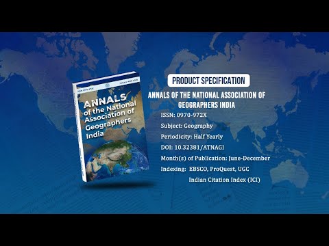
ISSN: 0970-972X
Periodicity: Half-Yearly
Month(s) of Publication: June & December
DOI: https://doi.org/10.32381/ATNAGI
Online Access is Free for All Life Member of NAGI
A Geographical Analysis on Crop Concentration in Chamarajanagara District
By : Sowmya. R , H Nagaraj
Page No: 38-48
Abstract
Agriculture occupies an important status in economy of Chamarajanagara District. Chamarajanagara District is the southern-most district in the state of Karnataka. Chamarajanagara district is consisting of 4 taluks - Chamarajanagara, Gundlupet, Kollegala and Yelandur. In the present paper the cropping pattern in Chamarajanagara district is outlined, followed by the discussion on the area under individual crops. Bhatia’s method has been used for concentration of selected crops. In this paper an attempt is made to study the changes in crop concentration in the study region. There has been a significant variation in the area patterns of crop concentration in the study region. The indices of crop concentration area calculated for the period of 2007-2008 and 2017-2018. The study is based on secondary data sets that have been collected from district statistical handbook of 2007-2008 and 2017-2018, and also primary survey has been conducted to know the crop concentration in the year 2017-18. The spatial variations in the degree of crop concentration area are found to be the result of the different interaction between farmers and their physiographic, socio-economic factors in the study area.
Authors :
Sowmya. R
Guest Faculty, DOS in Geography, Manasagangotri, University of Mysore, Mysuru -570006
H Nagaraj
Professor & Chairman, DOS in Geography, Manasagangotri, University of Mysore, Mysuru -570006
DOI: https://doi.org/10.32381/ATNAGI.2021.41.01.3