


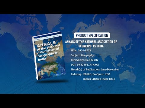
Annals of the National Association of Geographers India - A UGC-CARE Listed Journal
Published in Association with National Association of Geographers, India (NAGI)
Current Volume: 45 (2025 )
ISSN: 0970-972X
Periodicity: Half-Yearly
Month(s) of Publication: June & December
DOI: https://doi.org/10.32381/ATNAGI
Online Access is Free for All Life Member of NAGI
Land Use Land Cover Change in the Sambhar Salt Lake Catchment: A 50-Year Analysis of Ramsar Site No.464 Based on Geoinformatics
By : Hemraj Choudhary , Ashutosh
Page No: 207-232
Abstract
Wetlands, like the Sambhar Salt Lake [SSL (Ramsar site no. 464)] catchment, play pivotal roles in water filtration, habitat provision, and climate regulation. However, human activities have increasingly threatened these ecosystems. This research delves into the Land Use and Land Cover (LULC) transformations in the SSL catchment from 1972-2022, leveraging remote sensing and GIS. Using multi-temporal Landsat imagery, changes were tracked across four distinct intervals, subdividing the region into five LULC categories: agricultural land, vegetation, water, barren land (dry river bed), and builtup land. Findings showed a steady rise in built-up land regions, surging from 0.27% in 1972 to 12.04% in 2022. Meanwhile, agricultural land declined from 83.26% to 70.44%.Additionally, there was a marked decrease in water areas. This analysis serves as a base for devising effective land management strategies, aiding policymakers, and developers in safeguarding the SSL catchment’s ecological value.
Authors
Hemraj Choudhary, Department of Earth Sciences, Banasthali Vidyapith, Rajasthan.
Ashutosh, Department of Earth Sciences, Banasthali Vidyapith, Rajasthan.
DOI: https://doi.org/10.32381/ATNAGI.2025.45.01.12