


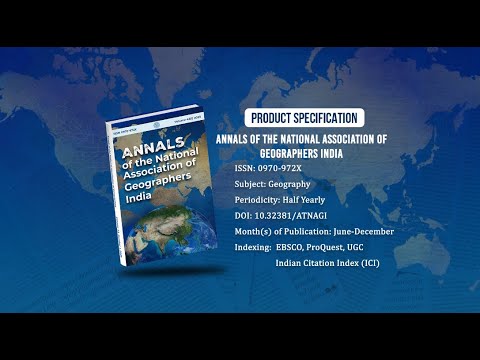
Annals of the National Association of Geographers India - A UGC-CARE Listed Journal
Published in Association with National Association of Geographers, India (NAGI)
Current Volume: 45 (2025 )
ISSN: 0970-972X
Periodicity: Half-Yearly
Month(s) of Publication: June & December
DOI: https://doi.org/10.32381/ATNAGI
Online Access is Free for All Life Member of NAGI
Analysis of Land Use Land Cover Dynamics of Keecheri-Puzhakkal River Basin in Thrissur District, Kerala, India: A Geospatial Approach
By : Yomna. P. Zainulabdeen , H. Nagaraj
Page No: 355-364
Abstract
The insensitive manner in which man is utilizing land in the modern era has necessitated a continuous examination of the changing land use pattern all over the world. This study uses geospatial technology to analyse the changing land use land cover pattern of Keecheri-Puzhakkal river basin in Thrissur district, Kerala from 1995 to 2020. The results of analysis revealed that from 1995 to 2020 built up land increased by 86.91 km², whereas the area under forests, paddy wetlands and water bodies declined by 9.32 km², 46.70 km² and 3.31 km² respectively. Area under mixed crops initially increased by 30.40 km² from 1995 to 2008 and then reduced by 52.72 km² from 2008 to 2020. NDVI analysis showed that from 1995 to 2020 land with dense vegetation declined from 36.11% to 14.10% of the total geographical area of the river basin and land without vegetation increased from 32.14% to 46.36% of the total geographical area of Keecheri-Puzhakkal river basin.
Authors :
Yomna. P. Zainulabdeen
UGC Senior Research Fellow, DOS in Geography, Manasagangotri, University of Mysore.
H. Nagaraj
Professor, DOS in Geography, Manasagangotri, University of Mysore.
DOI: https://doi.org/10.32381/ATNAGI.2022.42.02.8