


Annals of the National Association of Geographers India - A UGC-CARE Listed Journal
Published in Association with National Association of Geographers, India (NAGI)
Current Volume: 45 (2025 )
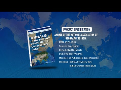
ISSN: 0970-972X
Periodicity: Half-Yearly
Month(s) of Publication: June & December
DOI: https://doi.org/10.32381/ATNAGI
Online Access is Free for All Life Member of NAGI
Estimation of Potential Soil Erosion in Majuli Island using Revised Universal Soil Loss Equation Model
By : Bharati Gogoi
Page No: 338-354
Abstract
Majuli, the largest inhabited riverine island of world has been facing a major problem of soil erosion. The current research study attempts to estimate potential soil erosion rates of Majuli by applying Revised Universal Soil Loss Equation Model in addition to other important factors of soil erosion. The mean annual soil loss of Majuli is found to be 268.75 t ha-1 yr-1 with total potential soil loss of 0 to 806.66 t ha-1 yr -1. Ujjani Majuli physiographic region had the highest mean annual soil loss of 312.71 t ha-1 yr -1. By severity, 27.41% of area had recorded highest rate of soil erosion of >357 t ha-1 yr -1. Appropriate use of soil erosion information generated in RUSLE model can help to design suitable land management practices and also improve earlier ones to control and reduce soil erosion in Majuli.
Author :
Bharati Gogoi
Department of Geography, Bhattadev University, Bajali, Assam.
DOI: https://doi.org/10.32381/ATNAGI.2022.42.02.7