






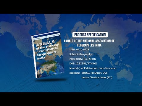
Annals of the National Association of Geographers India - A UGC-CARE Listed Journal
Published in Association with National Association of Geographers, India (NAGI)
Current Volume: 46 (2026 )
ISSN: 0970-972X
Periodicity: Half-Yearly
Month(s) of Publication: June & December
DOI: https://doi.org/10.32381/ATNAGI
Online Access is Free for All Life Member of NAGI
Geospatial Techniques Based Analysis of Forest Cover Reclamation in Karnaprayag, CD Block, Uttarakhand – India
By : Gopinath Patra , Sucheta Mukherjee , Vibhash C. Jha
Page No: 315-337
Abstract
Forest Canopy Density change detection based on remote sensing data is an important source of information for various decision, planning and forest management support systems. Information derived from forest cover change detection of forest land use is important for forest land conservation, sustainable development, and management of biotic resources. The purpose of this study is concerned with detection and identification of the change in forest cover and more specifically forest canopy density of the Karnaprayag, CD block, Uttarakhand. To identify forest cover change, detection is carried using remote sensing data, satellite imagery and image processing techniques. Temporal analysis of datasets have been carried out for a two decade span (2000-2020) using Landsat 7 ETM + 30 m resolution and Landsat 8 OLI/TIRS 30 m resolution images. Vegetation indices like NDVI, AVI, SI. VD, SVI, SSI have been utilized by using ArcGIS 10.5 softwares to identify the changes. The classification has been done using six land cover classes (water body, built up area, barren land, shrub and grassland, sparse vegetation and dense vegetation). Preprocessing and classification of the images have been done and analyzed with careful accuracy assessment to detect change in a spatiotemporal set up. This study indicates that in the last twenty years, natural vegetation areas have significantly increased by 17.73% (shrub and grassland), 13.88% (sparse vegetation) and 1.97% (dense vegetation) but VDF areas have shown a marked decline in the Karnaprayag CD block. The rate of increase for shrub and grasslands is prolific while pure stands of tall trees are slow to growth. Therefore, proper land management practices, integrated watershed management, and active participation of the local community can help to protect undesirable forest cover change in the block.
Authors :
Gopinath Patra
Research Scholar, Department of Geography, Visva Bharati (A Central University), Santiniketan, West Bengal.
Sucheta Mukherjee
Assistant Professor, Department of Geography, Sripath Singh College (Affiliated to Kalyani University, Jiaganj Murshidabad, West Bengal.
Vibhash C. Jha
Professor, Department of Geography, Visva Bharati (A Central University), Santiniketan, West Bengal.
DOI: https://doi.org/10.32381/ATNAGI.2022.42.02.6