


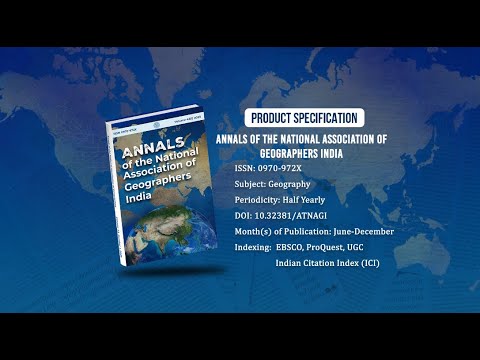
Annals of the National Association of Geographers India - A UGC-CARE Listed Journal
Published in Association with National Association of Geographers, India (NAGI)
Current Volume: 45 (2025 )
ISSN: 0970-972X
Periodicity: Half-Yearly
Month(s) of Publication: June & December
DOI: https://doi.org/10.32381/ATNAGI
Online Access is Free for All Life Member of NAGI
Spatio-Temporal Risk Mapping of Kala-azar in the Saran District of Bihar
By : Sandeep Jha , Anuranjan
Page No: 337-351
Abstract
Kala-azar (Visceral leishmaniasis) is one of the severe major infectious vector-borne diseases prevalent in Bihar. Bihar contributes approximately 70 percent of Kala-azar cases in the country. The disease burden has decreased significantly over the years; however, districts such as Saran continue to report a large number of cases. The objective of this study is to map the spatiotemporal distribution of Kala-azar disease in the Saran district and investigate the emerging spatial patterns to identify the locations where these diseases are concentrated. This research employs spatial analysis methodology to determine the spatial concentration of Kala-azar disease using the Moran I and Hot Spot analysis tools. The results demonstrate that the distribution of Kala-azar cases in the district exhibits a non-random cluster pattern. Furthermore, the findings indicate that new hotspots of affected villages are emerging over time.
Authors :
Dr. Sandeep Jha : Department of Geography, Kunwar Singh College, LNMU, Darbhanga, Bihar, India.
Dr. Anuranjan : University Department of Geography, LNMU, Darbhanga, Bihar, India.
DOI: https://doi.org/10.32381/ATNAGI.2024.44.02.7