


Annals of the National Association of Geographers India - A UGC-CARE Listed Journal
Published in Association with National Association of Geographers, India (NAGI)
Current Volume: 45 (2025 )
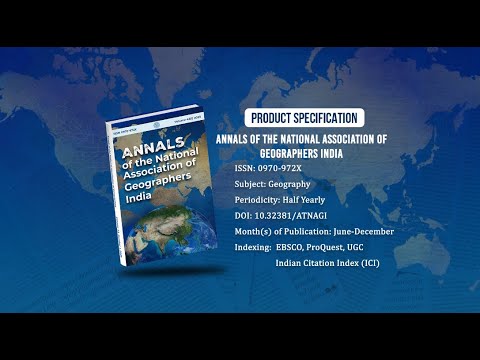
ISSN: 0970-972X
Periodicity: Half-Yearly
Month(s) of Publication: June & December
DOI: https://doi.org/10.32381/ATNAGI
Online Access is Free for All Life Member of NAGI
Delineation of Mangrove Patches using Multiple Landsat-8 OLI-based Indices: A Case Study of Indian Sundarban and Surroundings
By : Biswajit Mondal , Ashis Kumar Saha , Anirban Roy
Page No: 256-273
Abstract
Mangrove forests are considered an important component of the coastal ecosystem. Despite the immense ecological and economic services provided by mangroves, their habitable area has been shrinking at an alarming rate throughout the world. In such circumstances, mapping of mangrove patches is necessary for the proper management of such a fragile but highly productive ecosystem. Most remote sensing-based mapping is limited to analysis of their spectral properties only. These approaches not only fail to improve the classification accuracy but are also unable to delineate small patches of mangroves which are equally important from a conservation perspective. The present study is carried out in coastal West Bengal, India, where land use/covers are intermingled with different types of mangrove and nonmangroves vegetations, which is difficult to separate. In this study, we have combined seven spectral indices along with Landsat-8 OLI spectral bands to delineate mangrove patches. Classified maps using eleven-layer combinations were analyzed by Jefferies-Matusita (JM) Distance separability and standard classification accuracy assessment measures. When multiple indices were used along with six spectral bands (Blue, Green, Red, NIR, SWIR-1, SWIR-2), mangrove delineation potential measured by user’s accuracy reached up to 97.47%. Further analysis shows that additional 14,807 hectares of small mangrove patches outside Sundarban Biosphere Reserve could also be identified using the proposed methodology. Therefore, this approach may improve mangrove delineation potential through remote sensing and further help conservation and restoration programs.
Authors :
Biswajit Mondal
University of Delhi, Delhi School of Economics, Department of Geography, Delhi, India.
Ashis Kumar Saha
University of Delhi, Delhi School of Economics, Department of Geography, Delhi, India.
Anirban Roy
West Bengal Biodiversity Board, Department of Environment, Government of West Bengal, Kolkata, India
DOI: https://doi.org/10.32381/ATNAGI.2022.42.02.3