


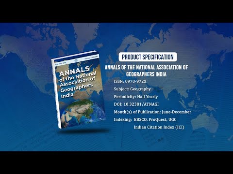
Annals of the National Association of Geographers India - A UGC-CARE Listed Journal
Published in Association with National Association of Geographers, India (NAGI)
Current Volume: 45 (2025 )
ISSN: 0970-972X
Periodicity: Half-Yearly
Month(s) of Publication: June & December
DOI: https://doi.org/10.32381/ATNAGI
Online Access is Free for All Life Member of NAGI
Using Geospatial Technology to Analyse Land Use and Land Cover Mapping in Kashmir Valley (2020)
By : Ruyida Mushtaq , Rajesh Kumar Yadav , Harmeet Singh , Pervez Ahmad , Tariq Ahmad Raja
Page No: 28-41
Abstract
Land use land cover is a biophysical parameter describing physical condition of earth in terms of natural environment with manmade structures. They are active features in spatio-temporal phenomena. The knowledge of geospatial techniques is crucial because only then we can monitor, evaluate, protect and plan for earth resources and implementation of land use management is also important in order to meet human requirements for their wellbeing. Based on geospatial techniques, the study aims to examine Land use Land cover pattern of Anantnag and Baramulla in Kashmir valley. Sentinel-2 multi-spectral satellite imagery 2020 were used to obtain land cover maps of the study area. Supervised classification with maximum likelihood classifier in ERDAS 2014 was used for classification and producing of LULC maps. The images of the area under study have been classified into 8 LULC classes namely- agricultural land, wasteland, scrubland, built-up area, dense forest, forest, water-bodies and snow/glacier land. Techniques of Kappa coefficient were utilized to assess LULC accuracy. The need of LULC mapping and monitoring is an essential tool for Sustainable management of land use and development of regions in study area whereby planners and decision makers can use to sustainably plan the environment in the study area.
Authors :
Ruyida Mushtaq
University of Kashmir, Research Scholar, Geography and Disaster Management.
Rajesh Kumar Yadav
Research Scholar MLSU, Udaipur, Rajasthan, Department of Geography.
Harmeet Singh
Associate Professor, University of Kashmir, Geography and Disaster Management.
Pervez Ahmad
Professor, University of Kashmir, Geography and Disaster Management.
Tariq Ahmad Raja
Professor and Head, Sheri Kashmir University of Agricultural Science and Technology (SKAUST), Wadura, Division of Agriculture Statistics and Economics.
DOI: https://doi.org/10.32381/ATNAGI.2022.42.01.3