


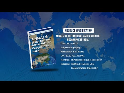
Annals of the National Association of Geographers India - A UGC-CARE Listed Journal
Published in Association with National Association of Geographers, India (NAGI)
Current Volume: 45 (2025 )
ISSN: 0970-972X
Periodicity: Half-Yearly
Month(s) of Publication: June & December
DOI: https://doi.org/10.32381/ATNAGI
Online Access is Free for All Life Member of NAGI
Integrated Land Use Planning for Development of Salekasa Taluka, Gondia District, Maharashtra
By : Jyoti S. Rokde , Arun Chaturvedi
Page No: 278-292
Abstract
Salekasa taluka has 41.23% area suitable for agriculture. The multiple criteria analysis reveals that 21.18 per cent of the taluka has the capacity for double cropping. 12.29% can also be used for double cropping but will require higher level of input. Salekasa taluka has 3.81% area under Rainfed-Single crop/animal Husbandry/Dairy under moderate cropping land but limited in versatility. Rainfed-Single Crop/Animal Husbandry has 8.15 per cent area under moderate cropping land. Kharif Paddy/Animal Husbandry/NTFP has 6.30 per cent area and it is little suitable for agriculture. Rainfed Paddy/ NTFP/ Animal Husbandry have 11.70 per cent area, which is marginally suitable for agriculture. In Salekasa taluka 38.49 per cent area is under dense forest, of which 4.21 per cent area has severely degraded forest which needs immediate attention. Afforestation and gap filling is the best way to conserve the soil and the forest. In Salekasa taluka 4.71 per cent area is under waste and scrub land. Silvi-pasture is one of the alternatives land-use system is available for improving the fodder resources of the taluka. In Salekasa taluka, Salekasa, Amgaon Kh., Bhajepar and Chand suraj village has area (1.11%) having good suitability for market and industrial development. Salekasa taluka has 0.17% area having good scope in reference to tourist place. Taluka has 2.89 per cent area under water body these water bodies can be used for irrigation as well as fish production.
Authors :
Jyoti S. Rokde : RTM Nagpur University, Nagpur.
Arun Chaturvedi : National Bureau of Soil Survey and Land Use Planning, Nagpur.
DOI: https://doi.org/10.32381/ATNAGI.2019.39.02.8