


Annals of the National Association of Geographers India - A UGC-CARE Listed Journal
Published in Association with National Association of Geographers, India (NAGI)
Current Volume: 45 (2025 )
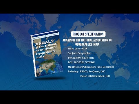
ISSN: 0970-972X
Periodicity: Half-Yearly
Month(s) of Publication: June & December
DOI: https://doi.org/10.32381/ATNAGI
Online Access is Free for All Life Member of NAGI
Geospatial Technology Based Geo-Environmental Impact Assessment of Slate Mining Activities
By : Tejpal , M.S. Jaglan , B.S. Chaudhary
Page No: 330-349
Abstract
Environmental impact assessment is nowadays an important aspect of mining operations. Remote sensing data with Geographical Information System (GIS) enable to identification, delineation, and monitoring of pollution sources and affected areas. The objective of this study is to develop an environmental health model for a slate mining site using both satellite data and ground-based information along with GIS techniques. For this purpose, areal expansion of slate mining and their impacts on local environment have been examined using LANDSAT 5 TM and LANDSAT 7 ETM+ data. Both natural (vegetative index and moisture index) and anthropogenic (land use/ cover change) parameters have been computed to assess the slate mines induced environmental degradation. It is revealed that the mining of slate has adversely affected the vegetation cover, moisture content, land use/ land cover and ground water depth. The environmental health of the area surrounding slate mining site has deteriorated significantly between 1989 and 2009 following an upsurge in slate mining activities.
Authors :
Tejpal : Assistant Professor, Department of Geography, Dyal Singh College, Karnal, Haryana, India-132001.
M.S. Jaglan : Professor, Department of Geography, Kurukshetra University, Kurukshetra, Haryana, India-136119.
B.S. Chaudhary : Professor, Department of Geophysics, Kurukshetra University, Kurukshetra, Haryana, India-136119.
DOI: https://doi.org/10.32381/ATNAGI.2020.40.02.9