


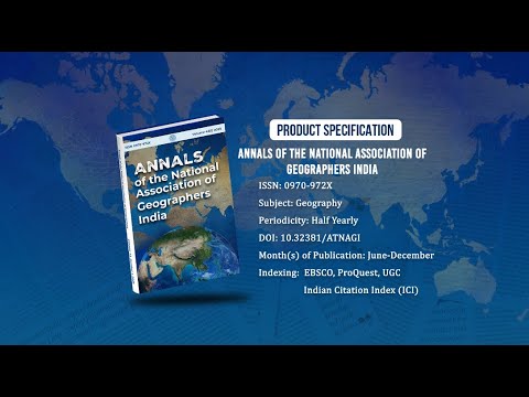
Annals of the National Association of Geographers India - A UGC-CARE Listed Journal
Published in Association with National Association of Geographers, India (NAGI)
Current Volume: 45 (2025 )
ISSN: 0970-972X
Periodicity: Half-Yearly
Month(s) of Publication: June & December
DOI: https://doi.org/10.32381/ATNAGI
Online Access is Free for All Life Member of NAGI
Land Use and Land Cover Change Detection Study in Eastern Nayar Watershed Using Remote Sensing and GIS
By : Harimohan Bhandari , Mamta Mishra
Page No: 60-74
Abstract
Land use is a crucial component in understanding how anthropogenic activities interact with the environment, and it is therefore crucial to track and detect changes in the direction of maintaining a sustainable environment. The study looks at changes in the LULC pattern in the eastern Nayar watershed from 2000 to 2011 and 2011 to 2021. Over the last two decades, LULC in the study area has undergone a series of complex adjustments. Water bodies, forest, built-up area, barren land and agricultural area are five major LULC classifications discovered, indicating that forest is the most common land use in the watershed, followed by barren land. The results of this study revealed that water bodies, built-up area and barren land increased by 18.75%, 23.31% and 8.89% while, forest and agricultural land decreased by 6.39% and 9.56% respectively in 2011- 2021.
Authors :
Harimohan Bhandari : Research Scholar, Department of Geography, M B Govt PG College Haldwani, Uttarakhand.
Mamta Mishra : Assistant Professor, Department of Geography, M B Govt PG College Haldwani, Uttarakhand.
DOI: https://doi.org/10.32381/ATNAGI.2023.43.01.5